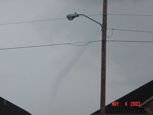
Saturday, May 10, 2003
May 10, 2003 Night Tornado in Pekin, IL
Well, less than a week after the May 4, 2003 outbreak here in the ozarks, my brother Jon Morrissey and his spotting partner Josh Hilfiger video captured a tornado on the ground at night on March 10th in Central Illinois. I have edited the video down to 3 minutes for the NWS spotter trainings. The file is about 26MB, so you might want to download it first.
Monday, May 5, 2003
May 4 2003 - SE KS/SW MO Tornado Outbreak
 All indications were that May 4, 2003 was going to be a very serious tornadic outbreak. I called my parents in Carl Junction and told them they really needed to be alert. They know I am a weather weenie and they get tired of me talking about it, but I asked them to take note that I have NEVER called them and told them to pay special attention to the weather. I knew that an outbreak situation like this normally happen over the middle of OK and KS, not along the KS and MO border. While on the phone with my mother, the first tornadoes started popping in Eastern Kansas. I told her she needed to go ahead and prepare to take shelter, etc, that things were going to happen. Sure enough, they ended up watching the tornado pass about a 1/2 mile from them in Carl Junction that day.
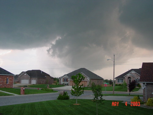
At around 18:30 I decided to head out to observe what was going on. Just outside my front door I could see a classic super cell to the west.
Me and two other guys hopped in my vehicle and found a good view point. We watched a wall cloud to our west while reports of a 1/2 mile wide tornado were coming in from Clever. At the time, I thought the wall cloud to my west was that storm.
I noted to the guys with me that to our Northwest, North of the storm we were watching was another wall cloud. I remember saying "we've got two wall clouds". In the North wall cloud I thought I was observing a large rain base.
Little did I know that the storm to my West was secondary, and that Northwest wall cloud was the actual 1/4-1/2 mile wide tornado.
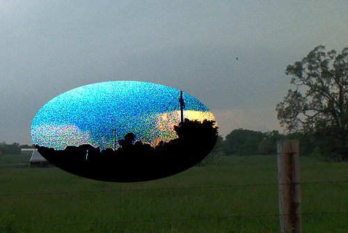
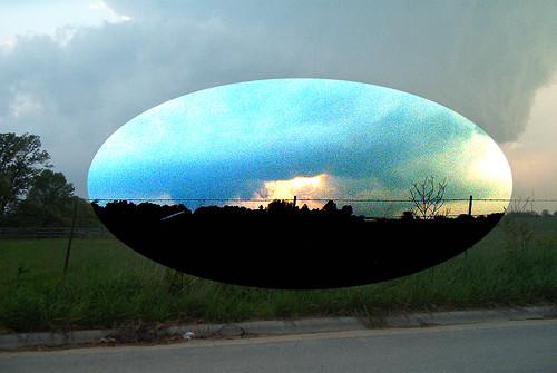
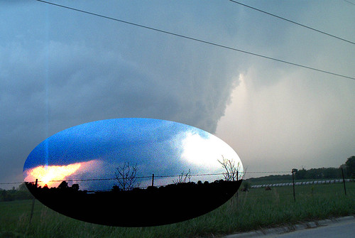
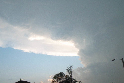
A friend of mine in Nixa, Kevin Rapert, snapped these photos of the southern wall cloud that we were watching.
The above image is from just west of Meeks lumber in Nixa, facing west/southwest. This was the storm that dropped the funnel over Nixa, and did some damage in the Fremont Hills area.
As everyone probably knows, the larger storm to the north ripped a path from Pierce City to Battlefield. The storm to the south that dropped the funnel over Nixa and did damage in Fremont Hills is not listed in the official storm report.
Subscribe to:
Comments (Atom)


