Friday, August 2, 2013

Scattered Strong to Severe Storms Possible

Strong to severe storms are possible later today and tonight.  The Storm Prediction Center has much of SW MO, NE OK, NW AR and much of KS in a slight risk box for severe weather.  The National Weather Service in Springfield, MO lists the hazards as:
  • Limited tornado risk
  • Elevated hail risk
  • Elevated thunderstorm wind damage risk
  • Elevated flooding risk
  • Significant lightning risk
You should stay tuned to local weather forecasts. Make sure your NOAA All Hazards Radio is on and backed up by battery. If you don't own a NOAA All Hazards Radio, you should. Click the link for a previous blog post on selecting one.


Thursday, June 27, 2013

Severe Storms Possible Later Today and Tonight

SPC Day 1 Tornado Outlook
The Storm Prediction Center has much of MO, KS, OK and AR in a slight risk box for severe weather, and a good chunk of KS in a moderate risk box.  The image to the right is the Storm Prediction Center Day 1 Tornado Probability.  The National Weather Service in Springfield MO list the following hazards are possible, especially damaging winds, large hail and an isolated tornado:
  • Limited tornado risk
  • Elevated hail risk
  • Elevated thunderstorm wind damage risk
  • Elevated lightning risk
  • Significant excessive heat risk
You should stay tuned to local weather forecasts. Make sure your NOAA All Hazards Radio is on and backed up by battery. If you don't own a NOAA All Hazards Radio, you should. Click the link for a previous blog post on selecting one.


Wednesday, June 26, 2013

Severe Weather Possible on Thursday 6/26

There is a possibility of strong to severe storms developing tomorrow.  We will post more information regarding this threat tomorrow, but wanted to give everyone a heads up.

Tuesday, June 11, 2013

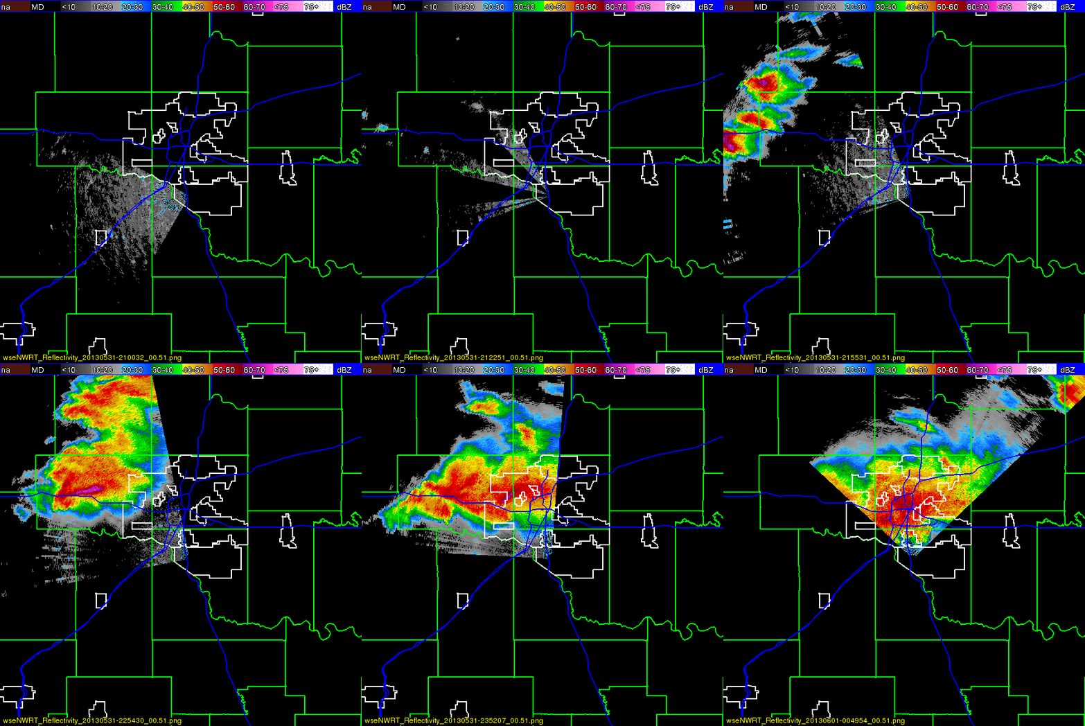
Video Footage of EF-5 El Reno Tornado

Video footage captured during the El Reno, OK tornado on May 31, 2013. Apparently this was captured by employees and guests of Tempest Tours (storm chasing tour group).


Tuesday, June 4, 2013

Storm Chaser Locations During El Reno Tornado

This is a video showing the location of storm chasers combined with the estimated tornado damage path of the El Reno, OK tornado on 5/31/13.  This is only spotters who use Spotter Network to broadcast their position and tie that with ground truth reports, which means there were MANY more out there.  The Spotter Network reports are available to those interested, such as the National Weather Service, so they have this valuable ground truth information that radar can't see.

El Reno Tornado Now Largest On Record


The El Reno, OK tornado is now the widest tornado on record at 2.6 miles wide.  It is now rated EF-5 based on mobile Doppler radar readings, with winds up to 296 MPG.  Read more from The Washington Post.


Friday, May 31, 2013

UPDATED: Strong to Severe Thunderstorms This Afternoon and Evening

UPDATED 11:34am

Strong to severe thunderstorms will develop this afternoon into the evening.  The Storm Prediction Center has most of MO and OK, SE KS and NW AR in a slight risk for severe weather, with SE KS, much of OK and extreme SW MO in a moderate risk box for severe weather.  The slight risk area is listed with a 5-10% chance of a tornado, with the moderate risk area showing 15%.

The Springfield NWS office notes that the most likely time for storms to impact the Ozarks is between 2pm and 10pm this evening.  The risks include:
  • Elevated tornado risk
  • Elevated hail risk (up to golf ball sized hail)
  • Elevated thunderstorm wind damage risk (up to 70MPH wind gusts)
  • Elevated flooding risk
  • Significant lightning risk
  • Limited non-thunderstorm wind damage risk
Rainfall amounts are expected from 1 to 4 inches, so please pay attention to flooding possibilities.


You should stay tuned to local weather forecasts. Make sure your NOAA All Hazards Radio is on and backed up by battery. If you don't own a NOAA All Hazards Radio, you should. Click the link for a previous blog post on selecting one.